
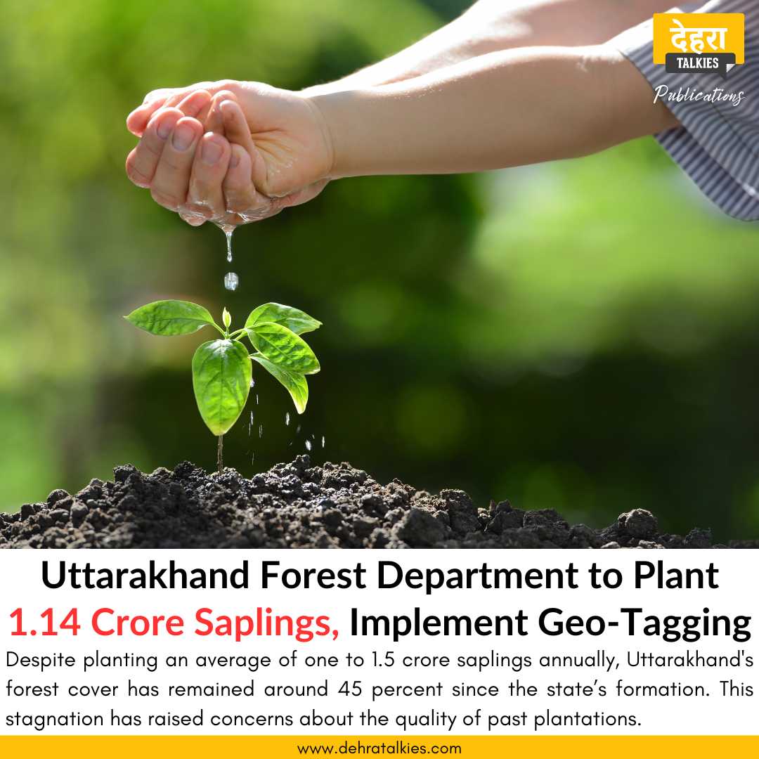
This rainy season, the Forest Department of Uttarakhand aims to plant 1.14 crore saplings across 10,268 hectares, ensuring transparency through geo-tagging. This initiative, guided by Forest Minister Subodh Uniyal, aims to eliminate fraud in the plantation process by providing detailed information on every planted sapling on the department’s website.
Enhanced Monitoring and Accountability
In accordance with Forest Minister Subodh Uniyal’s instructions, the Forest Department has issued guidelines to all forest divisions to ensure rigorous monitoring and accountability. The geo-tagging process will capture the geographical coordinates of plantation areas, enabling accurate tracking and monitoring. Photos and detailed information about the number and species of saplings planted, along with the responsible personnel, will be uploaded online.
Current State of Forest Cover
Despite planting an average of one to 1.5 crore saplings annually, Uttarakhand’s forest cover has remained around 45 percent since the state’s formation. This stagnation has raised concerns about the quality of past plantations and the working style of the department.
Government’s Serious Approach
Recognizing these concerns, Forest Minister Subodh Uniyal emphasized the need for improved monitoring and accountability during a recent departmental review meeting. The minister’s directives aim to increase the survival rate of planted saplings and ensure comprehensive tracking of the plantation process.
Active Implementation
This year, the forest department will plant 1.14 crore saplings of various species in 10,268 hectares of forest areas. Additional Chief Conservator of Forests Nishant Verma confirmed that geo-tagging will be implemented, with guidelines issued to all forest divisions. This includes capturing and uploading the geographical coordinates and detailed information on plantation activities on the departmental website.
Understanding Geo-Tagging
Geo-tagging involves photographing a location with its geographical coordinates, i.e., latitude and longitude. This process aids in monitoring and verifying the plantation activities accurately.
Focus on Fruitful and Fodder Species
The department has ensured the availability of saplings through both departmental and individual nurseries, as well as horticulture department nurseries. The focus will be on planting species that provide fruit and fodder, aiming to support the food supply for wildlife in the forests.


